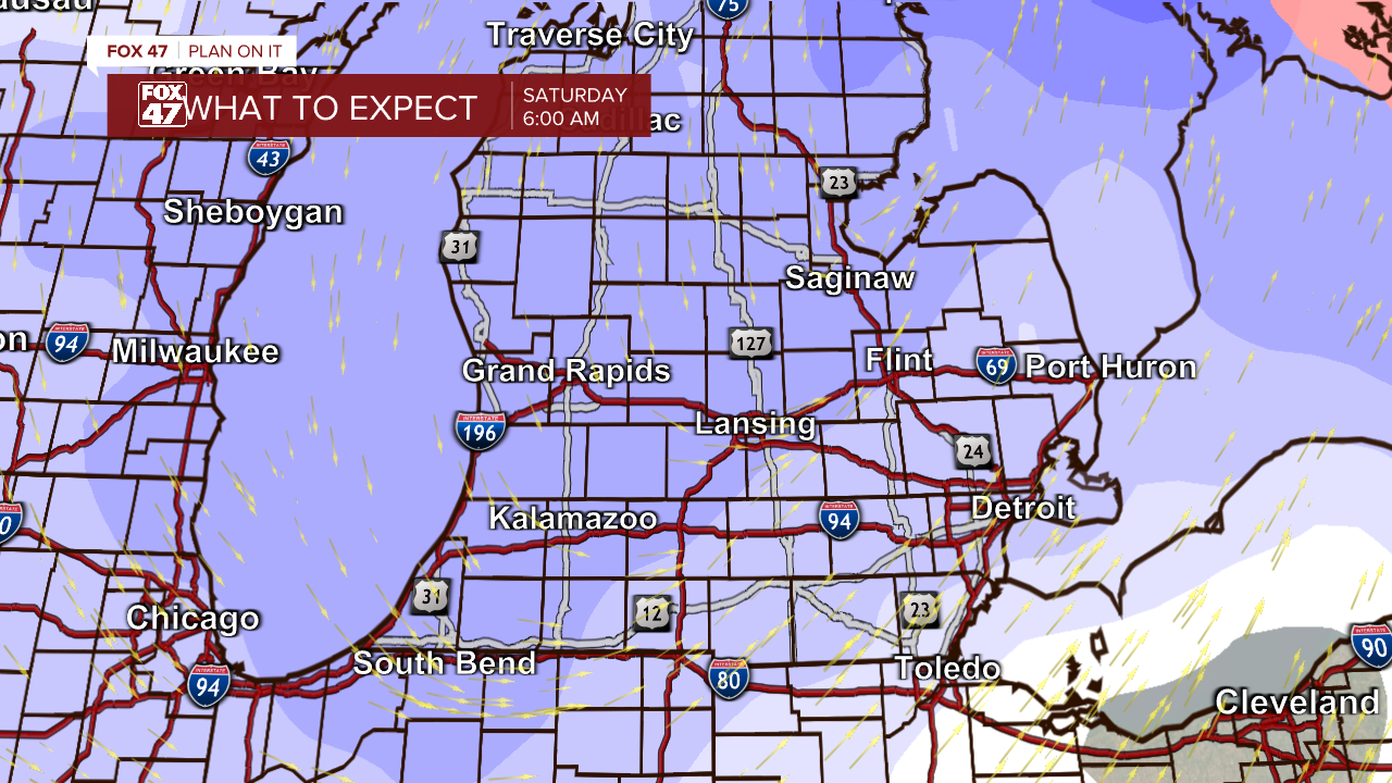
The state of Michigan is under multiple winter weather alerts as a strong low-pressure system advances through our area bringing heavy snowfall, high winds, and low visibility.
A change in this outlook is the possibility for mixed precipitation during the early afternoon on Friday which could diminish snow totals in the southwest portion of the state including areas in southern central Michigan.
Lansing:
The snow is expected to start falling this afternoon within the 2 PM hour and will begin to accumulate throughout the rest of the day. By 6 PM, Lansing could see 1”-2” of snow and with this low visibility at just above a mile. Winds gusting up to 40 mph will begin to drop into by this time as the center of low-pressure advances through. However, gusts could still range up to 35 mph
This evening, more snow ranging from 1”-2” will fall creating poor travel conditions for the commute home. From 6 PM to 10 PM, visibility in the area is not expected to exceed 2 miles. Overnight from 10 PM to 2 AM, wind gusts will pick back up to 40 mph with another 1”-1.5” of snow to fall.
Jackson/I-94 Corridor:
Snow in Jackson is expected to fall this afternoon within the 2 PM hour. In this initial period through 6 PM, 2”-3” of snow could disrupt travel plans and commutes home. Winds will be gusting up to 40 mph at this time with visibility dropping to just over a mile.
This evening from 6 PM to 8 PM, Jackson could see another 1”-2” of snow fall with wind gusts slightly falling due to the advancement of the low pressure system. Overnight from 10 PM to 2 AM, another inch of snow is expected to fall with gusts picking back up to 40 mph.
Hillsdale:
From 2 PM to 6 PM, snow ranging from 2”-3” is expected to fall and impact the area with visibility drastically dropping to about a half mile. Winds will be gusting up to 40 mph.
From 6 PM to 8 PM an additional 1”-1.5” is expected to fall creating difficult conditions to drive in for commuters. Visibility will continue to be less than a mile as blowing snow from gusts up to 40 mph still impacting this area. Overnight, from 10 PM to 2 AM, another 1”-1.5” will fall with winds gusting up to 45 mph.
Travel during these time periods are strongly discouraged as blowing snow will create near impossible driving conditions on top of poor road conditions from accumulating snow.
Want to see more local news? Visit the FOX47News Website.
For more news in your neighborhood, go to our In Your Neighborhood page on our website.
Stay in touch with us anytime, anywhere.
Sign up for newsletters emailed to your inbox.
Select from these options: Neighborhood News, Breaking News, Severe Weather, School Closings, Daily Headlines, and Daily Forecasts.
