
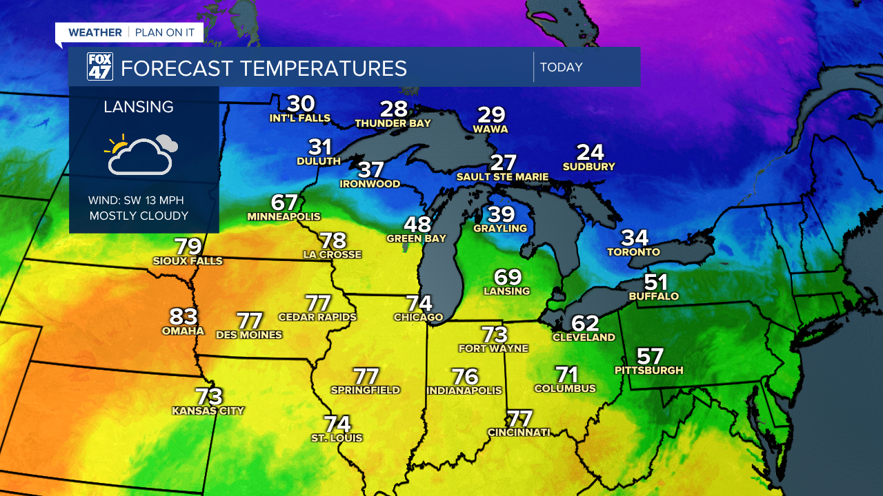
LANSING, Mich. — Warmer conditions return to our neighborhoods today with highs in the mid to upper 60's today. With this warmth, showers will also return and remain throughout the entire weekend period.
Friday morning brings showers and storms in our neighborhoods lasting through the early afternoon hours. This is affiliated with a low pressure system off to the west with an incoming warm front that is helping us warm our daytime highs today. These thunderstorms are looking to stay non severe as main impacts will be strong winds and even some possible small hail. We will watch this trend closely. Past 3 PM on Friday, we will clear out with strong winds out of the southwest exceeding 30 mph.

Overnight lows into Saturday will stay mild in the upper 50's as the frontal passage will stall out in central Michigan for the majority of the day Saturday. This setup will allow for scattered showers and a possible tame thunderstorm for southern portions of the state and a wintry mix for northern parts of the state that will stay cooler.
Our neighborhoods will stay warm with highs in the upper 60's with scattered rain showers throughout the day with a tame thunderstorm possible. We could see some changes if the frontal passage sags southward into our most northern neighborhoods where we could see some cooler temperatures, but we will continue to watch very closely. Right now, we are looking to stay warmer with rain.

Heading into Sunday, an area of low pressure will drives more uniform showers and storms into our neighborhoods for the Sunday evening hours. The Storm Prediction Center has all of our neighborhoods under a level 2, Slight risk for severe weather. All impacts are possible as of now including strong winds, hail, and even a possible tornado.

The timing for these storms arrive at around 6 PM on Sunday in our neighborhoods. These showers and storms will last through the evening hours before clearing out in the overnight hours. Heading into Monday morning, we will cool down drastically with highs only in the lower 40's and overnight lows back below freezing. We also have a chance to see some wintry precipitation on the back end of this system for Monday, but we are not tracking any impactful snow accumulations. We will continue to update with any changes to this round of storms track and timing.

Want to learn more about the Weather? Visit the FOX47News Website.
Stay in touch with us anytime, anywhere.
Sign up for newsletters emailed to your inbox.
Select from these options: Breaking News, Severe Weather, School Closings, Daily Headlines and Daily Forecasts.
