
LANSING, Mich. — Grab an umbrella because rain arrives in our neighborhoods Tuesday morning ahead of the strong low pressure system that will begin tracking northeast today. As of this 6 AM Tuesday, the center of the low has been effecting areas in the south driving severe storms in Oklahoma and Texas. Our neighborhoods will continue to be influenced by this storm system through Thursday morning.

An area of intermittent to heavy rain is moving through our neighborhoods this morning bringing minimal impacts to the morning commute this trend will continue through the morning hours as rain will be possible throughout the entire day today. We are expecting to see the arrival of heaviest rain later Tuesday night.

Starting around 8 PM Tuesday evening, precipitation rates climb above .1" an hour and possibly .2" an hour in neighborhoods south of I-94. This trend is looking to last through 3 AM Wednesday morning.
Heading into Wednesday, the center of the low is expected to track through our neighborhoods in the mid to late afternoon hours. Just ahead of this low, we could see a weak thunderstorm move through as we have ample moisture, decent lift, and weak instability. The mitigating factor is the weak instability that is essential to thunderstorm potential. As of now, we are not tracking any severe weather for our neighborhoods as any activity should stay pretty tame.
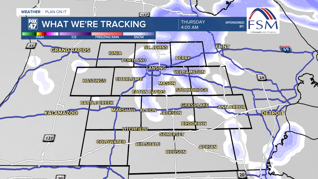
Once the low move off to the east, winds will shift from the northwest allowing for a cool down in our neighborhoods as well as some possible mixing into snow for Thursday morning. We are not looking at any major snow accumulations, but we could see up to an inch in our northern neighborhoods by the time we wake up on Thursday morning.
Temperatures will also plummet as we will be cooling from a mid 50's high on Wednesday to a mid 30's high on Thursday with winds elevated from the northwest. We could see wind gusts exceed 40 mph on Thursday which could cause some power outages. We will continue to track these winds as we head through the midweek.

Highs will stay in the 30s through the rest of the week and weekend as we will have chances for precipitation through the weekend.
Want to learn more about the Weather? Visit the FOX47News Website.
Stay in touch with us anytime, anywhere.
Sign up for newsletters emailed to your inbox.
Select from these options: Breaking News, Severe Weather, School Closings, Daily Headlines and Daily Forecasts.
