
LANSING, Mich. — Mostly cloudy skies will remain in place tonight as high pressure over the upper Midwest tries to spread out into the Great Lakes. Temperatures starting the evening in the low 20s will eventually fall to the upper teens by daybreak. Make sure to dress warmly, as wind chills are expected to hover in the teens throughout the night.
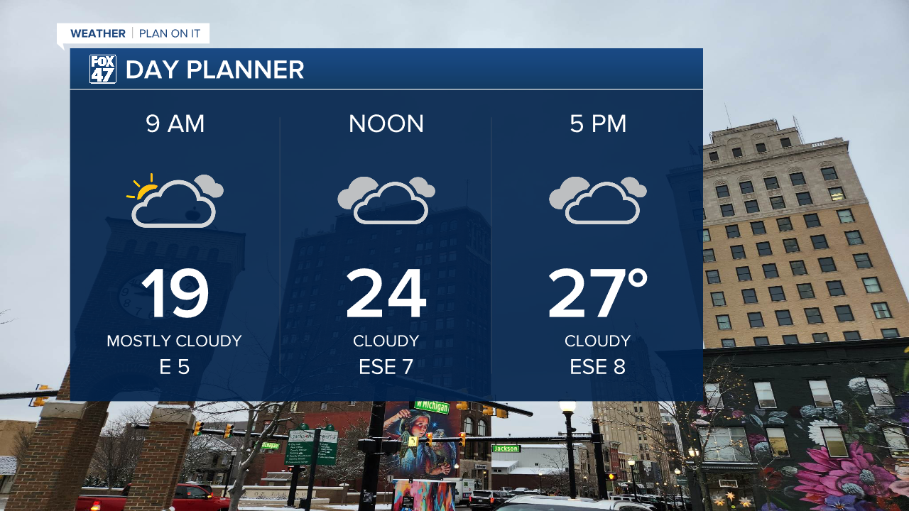
The majority of Wednesday will remain quiet under mostly cloudy skies, with a few stray flurries possible as we close in on the evening commute. Highs will remain on par with Tuesday's temperatures, topping out in the upper 20s.

A warm front lifting out of the central United States will begin to push a wave of mixed precipitation in across our neighborhoods around midnight on Wednesday. This will start as a blend of snow and sleet before shifting toward freezing rain after 3:00 AM. Icy conditions are expected to develop quickly thanks to surface temperatures holding in the mid 20s, with freezing rain finally coming to an end around 8:00 AM Thursday.

Most of our neighborhoods will pick up around 0.1-0.2" of ice accumulation, with the potential for 0.25" or more along and south of I-94. Not only will this make for dangerous travel conditions into the Thursday morning commute, isolated power outages will also be possible. Up to 0.5" of snow accumulation may also mix in with the ice. Before temperatures climb above freezing on Thursday afternoon.

Friday gives us a quieter day to round out the work week with mostly cloudy skies and highs in the mid 20s, followed by another wintry mix with a new disturbance on Saturday. Early data suggests this will be more of a snow/sleet event rather than freezing rain, but expect a messy start to the weekend regardless.
Want to learn more about the Weather? Visit the FOX47News Website.
Stay in touch with us anytime, anywhere.
Sign up for newsletters emailed to your inbox.
Select from these options: Breaking News, Severe Weather, School Closings, Daily Headlines and Daily Forecasts.
