Francine strengthened to a Category 1 hurricane Tuesday evening in the Gulf of Mexico. The storm is forecast to make landfall in Louisiana on Wednesday afternoon or evening.
The storm was about 350 miles southwest of Morgan City, Louisiana, moving northeast at about 10 mph. Peak sustained winds were 75 mph.
The National Hurricane Center instituted a Hurricane Watch for Lake Maurepas, Lake Pontchartrain, and metropolitan New Orleans in Louisiana Tuesday afternoon.
A Hurricane Warning was in effect for the Louisiana coast from Cameron eastward to Grand Isle.
Heavy rain was already starting to fall in the New Orleans area on Tuesday. More heavy rain is expected throughout the next few days.
RELATED STORY | What is the difference between a tropical storm and hurricane?
Forecasters say heavy rain and damaging winds will affect coastal areas and regions well inland. Coastal communities could also be impacted by a storm surge of up to 10 feet.
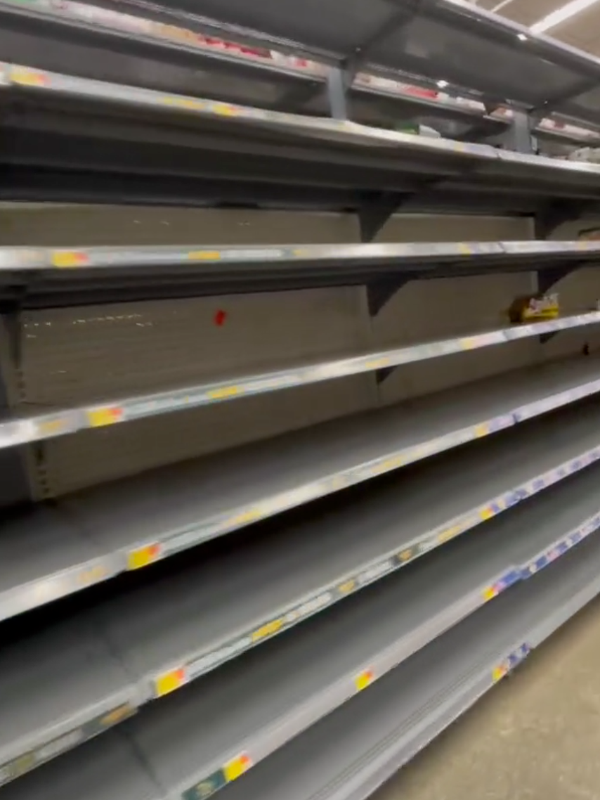
On Monday and early Tuesday, officials were preparing the coast for the onslaught of Francine. At a grocery store in Lafayette, Louisiana, shelves were empty as residents stocked up on food and supplies. Sandbags were also being prepared in areas prone to flooding.

RELATED STORY | New tools help better predict storms and alert the public for hurricane season
On Monday, Louisiana Gov. Jeff Landry issued a state of emergency declaration, freeing state resources to quickly respond to the storm.
“This State of Emergency will allow parishes statewide to have the resources to help protect the life, safety, and welfare of the citizens of Louisiana. Throughout this process, we will remain in constant contact with local officals and first responders and will assist them in every step of the way,” said Landry.


