LANSING, Mich. — We saved the best for last this work week, with Friday seeing temperatures climb into the 70s for the first time since October! It was a gorgeous day for sure, but the surge in temperatures and breezy conditions are the result of a storm system over the central U.S. that will bring showers and possible severe storms to our neighborhoods late tonight in Saturday.

A WIND ADVISORY is in effect from 2:00 AM until 8:00 PM Saturday for the following counties: BARRY, CALHOUN, CLINTON, EATON, INGHAM, IONIA, JACKSON. A HIGH WIND WATCH is in effect for BRANCH and HILLSDALE Counties. Southerly winds will increase to 20-30 mph, with gusts up to 55 mph possible at times. Secure loose objects around your home, be prepared for possible power outages. Stronger winds will be possible in thunderstorms.
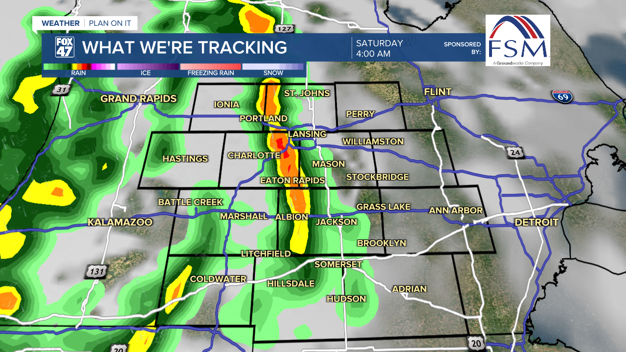
After a partly cloudy, warm, and breezy evening, clouds will quickly go on the increase along with the winds after midnight. A powerful low pressure system over Missouri will begin to track toward the Great Lakes, bringing a wave of scattered showers and thunderstorms into our neighborhoods around 3:00 AM.
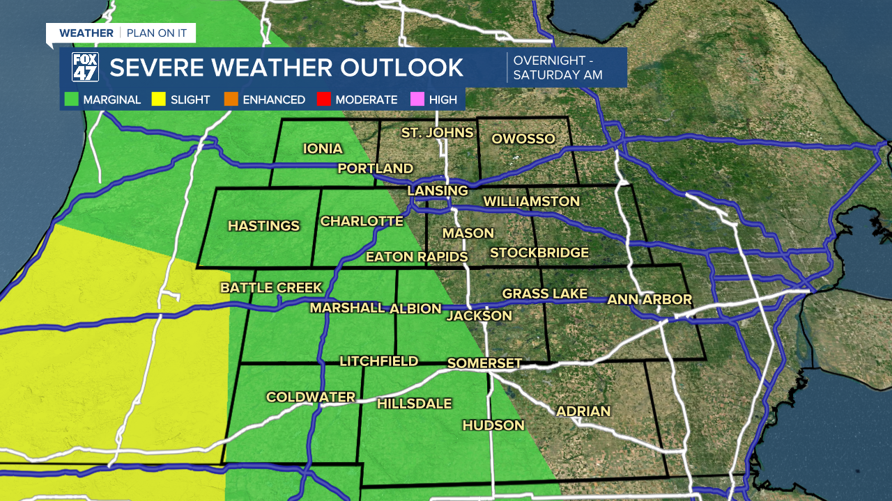
Storms will become more widespread through about 8:00 AM, then taper off through midday. Isolated severe storms will be possible and could produce damaging winds and some large hail, along with heavy downpours.
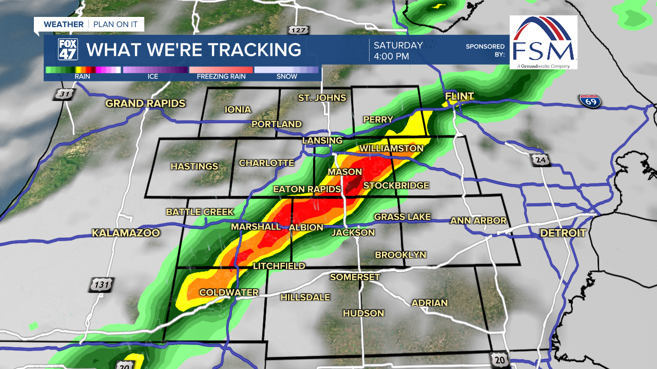
Some sun may being to break through the clouds around lunchtime, destabilizing the atmosphere as temperatures again climb toward the low 70s. Scattered thunderstorms are expected to re-fire beginning around 2:00 PM, and continuing until around 8:00 PM.
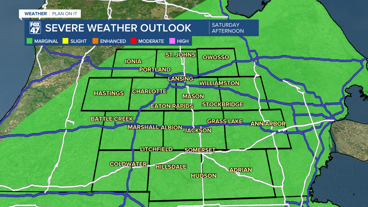
Isolated severe storms will be possible again, but with an added low risk for tornadoes. Make sure to stay weather aware, and be ready to head for shelter if storms head you way. Winds will remain strong outside of any thunderstorms, holding firm at 20-30 mph out of the south, with gusts to 55 mph possible.

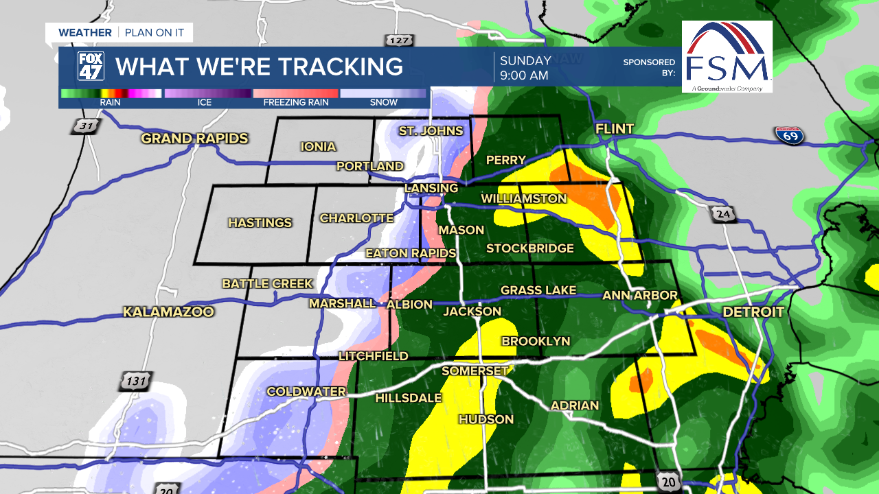
The threat for thunderstorms will diminish after sunset, but scattered showers will continue throughout Saturday night as low pressure tracks over Lake Superior. Leftover showers will persist into Sunday morning, and could briefly mix with snow as colder air begins to pour in behind a cold front. Some mixed showers could persist into early Sunday evening, but activity is likely to become more isolated after midday. Highs Sunday will only manage the low 40s.
Want to learn more about the Weather? Visit the FOX47News Website.
Stay in touch with us anytime, anywhere.
Sign up for newsletters emailed to your inbox.
Select from these options: Breaking News, Severe Weather, School Closings, Daily Headlines and Daily Forecasts.
