
LANSING, Mich. — Aside from the return of some scattered clouds, our weather will remain unchanged heading into tonight. Expect partly cloudy skies with light southerly winds, and low temperatures around 30 degrees.

Thursday still looks overwhelmingly pleasant with variable clouds and sunshine. We'll just have to keep an eye out for a few stray showers during the afternoon as a small disturbance tracks southwest of us near Chicago. Any showers that do pass through our neighborhoods will be little more than a nuisance, but a possibility to be prepared for nonetheless. Showers or not, our temperatures start to go on the upswing on Thursday, with highs set to jump to the low 50s.
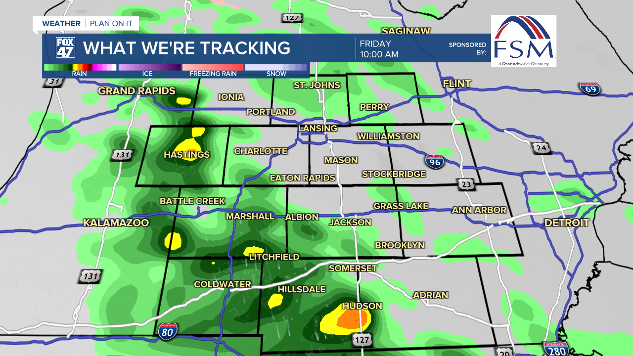
Friday still looks to kick off an unsettled stretch of weather that will carry us through the upcoming weekend. A warm front will track northward across the state, bringing scattered showers and likely a few thunderstorms to the area. Showers will start during the morning commute Friday, then gradually become less numerous in the afternoon. Severe weather is not expected at this time, but some storms could produce gusty winds and heavy downpours. On a more positive note, the warm front will help to elevate highs to the mid 60s.
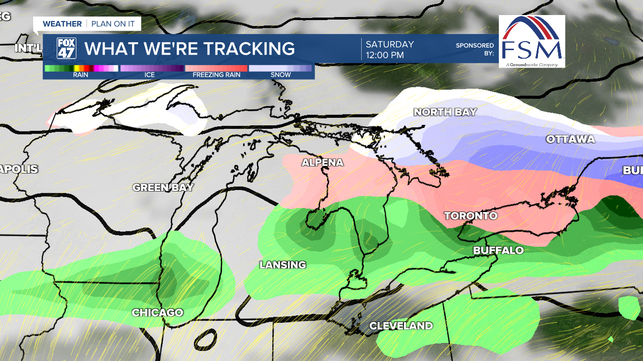
The warm front will eventually stall out near the Mackinac Straits on Friday night, keeping us in a warmer air mass on Saturday. Highs will again reach the mid 60s, and showers will become slightly less numerous, so there may be some opportunity to get outside in the milder air for a bit.

Showers become more numerous late Saturday night and continue throughout Sunday as low pressure and a cold front sweep across the state. Highs will cool slightly to the middle and upper 50s, with another chance for a few showers and thunderstorms.
Want to learn more about the Weather? Visit the FOX47News Website.
Stay in touch with us anytime, anywhere.
Sign up for newsletters emailed to your inbox.
Select from these options: Breaking News, Severe Weather, School Closings, Daily Headlines and Daily Forecasts.
