
LANSING, Mich. — A potent low pressure system passing through the Great Lakes will send a pair of cold front across our neighborhoods tonight. A wave of scattered showers will track through the region during the evening, possibly mixed with a few snow showers before ending around 10:00 PM.

From there, colder air will begin pouring in overnight, triggering some spotty lake effect snow showers after about 3:00 AM. These will predominantly impact neighborhoods west of I-69, but a few flakes could stray farther east before sunrise. Lows will fall to the upper teens and low 20s, with windy conditions forcing the real feel down toward the single-digits. Quite a turn-around from Friday's highs in the 50s!
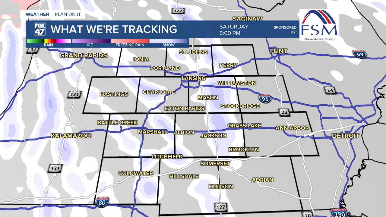
Isolated lake effect snow showers will remain possible on Saturday, although some sun is expected to break through the clouds by midday. An additional flare-up of snow showers is possible in the afternoon as a small wave of energy rolls across the state, so stay alert if you'll be out and about. Highs will be held to the low and mid 20s, with breezy conditions leaving wind chills in the teens. Quite a contrast from the rest of the week!

Sunday takes a quieter turn as winds finally diminish. We'll look for partly cloudy skies, with highs remaining chilly in the low 30s before returning to the low 40s on Monday with increasing clouds.
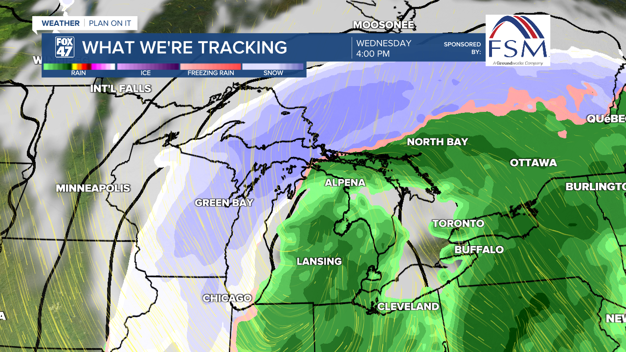
Temperatures will continue to warm a bit through the middle of the week as a powerful storm system moves out of the central United States. This will begin to push showers into our area on Tuesday afternoon, with highs set for the upper 40s. Periods of rain will take up most of our Wednesday, but with highs expected to jump into the low and middle 50s. This will all likely come with some windy conditions, and even a low chance for a few rumbles of thunder. Stay tuned to Fox 47 for updates on the forecast over the next few days!
Want to learn more about the Weather? Visit the FOX47News Website.
Stay in touch with us anytime, anywhere.
Sign up for newsletters emailed to your inbox.
Select from these options: Breaking News, Severe Weather, School Closings, Daily Headlines and Daily Forecasts.
